
You can see for yourself where it is if you enter the correct coordinates.
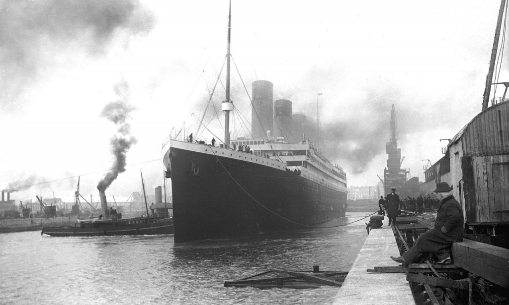
It is known that the liner "Titanic" collided with an iceberg in April 1912 and sank at a depth of 3750 meters in the Atlantic Ocean. The crash site is 600 kilometers off the coast of Newfoundland (Canada). The wreckage still lies at the bottom there:
On Google's digital service, you can find a more precise indication of the location of the infamous liner. To do so, enter the following coordinates (or just click on them - the link will take you to the point indicated in Google Maps): 41.7325° N, 49.9469° W.
"Titanic became the embodiment of technological progress and the limit of innovative dreams of the early 20th century. The news that it went down after hitting an iceberg shocked the world at one time. Unfortunately, there were only enough lifeboats for half the passengers, and the crew was not sufficiently trained to evacuate. Nearly 1,500 people are believed to have died as a result of this disaster.
Learn more about how the famous liner was built and what condition it is in now at the bottom of the Atlantic Ocean:
It is interesting that in the network and in our time are discussing the wreck of the liner. There is a version that the sinking was not the "Titanic". Allegedly, instead of the declared liner, an older ship, the "Olympic", set sail. Adherents of this theory give some intriguing proofs in favor of their considerations.

You must be logged in to post a comment.